We start the adventure in Ponts, a town widely known among off-road cycling enthusiasts for being the annual headquarters of Lo Ranxo , one of the most prominent gravel events on the international scene.
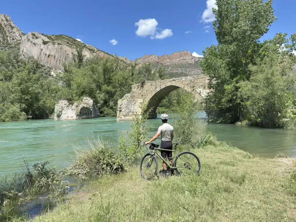
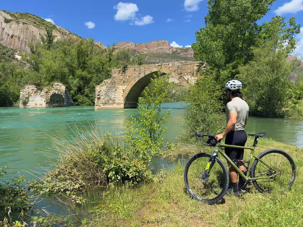
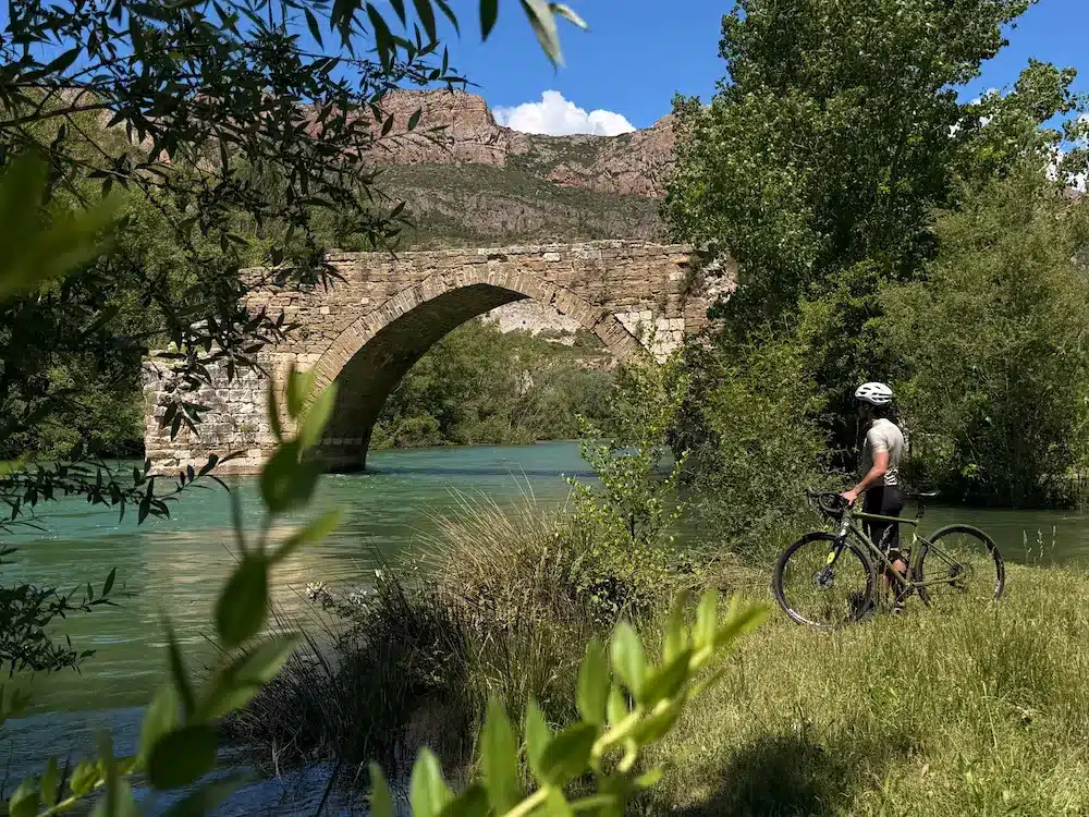
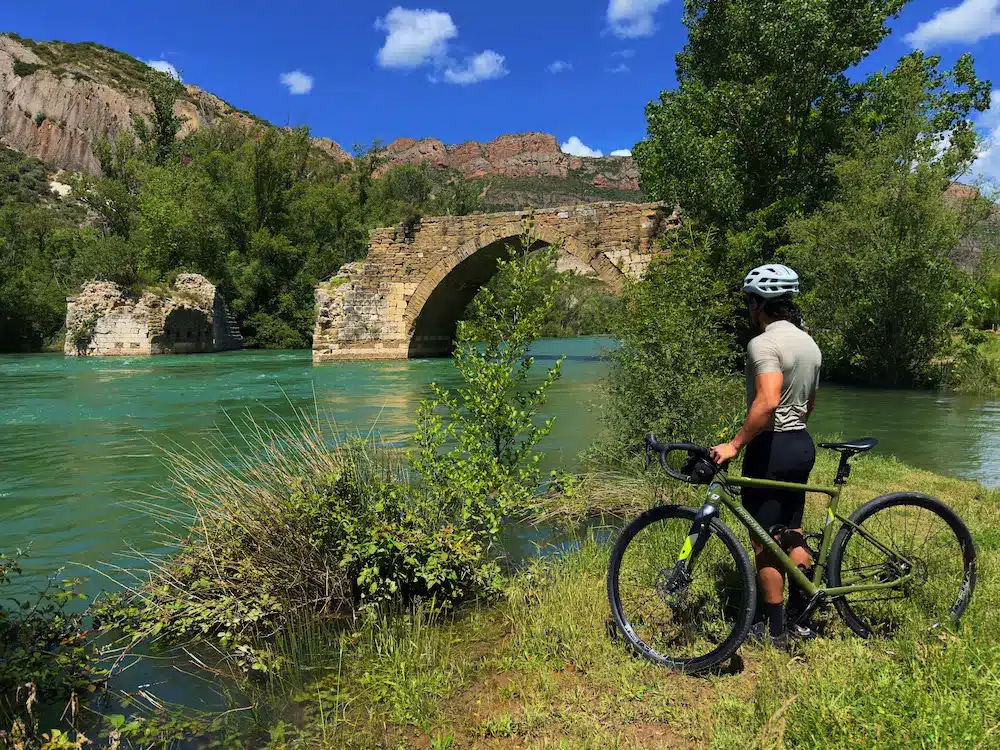
Bathed by the Segre River, the town of Ponts is the ideal starting point, from where the first steps of the route follow the course of the water in a westerly direction. At this beginning, we will pedal quickly along dirt tracks that will lead us to Torreblanca. There we will find the famous “Palanca” of Torreblanca, the structure of an old disused bridge over the Segre itself, a point where we take an uphill path that is the first significant repetjón of the day. The itinerary continues parallel to the river, alternating sections of road and track, where small climbs of barely a kilometer will progressively give us magnificent panoramic views of the natural surroundings of the route.
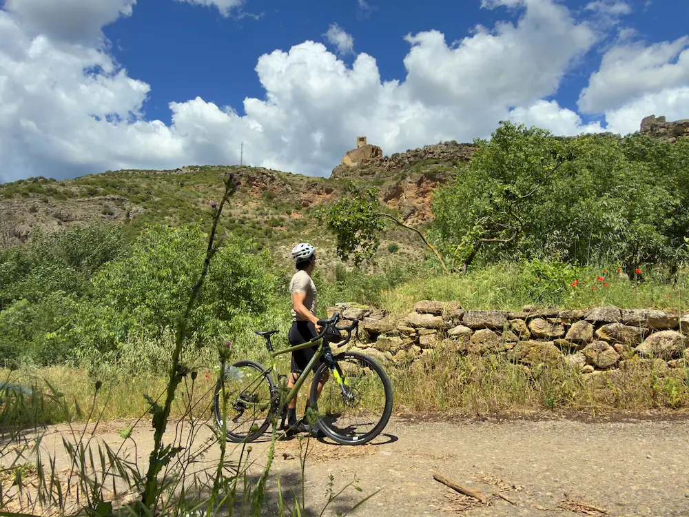
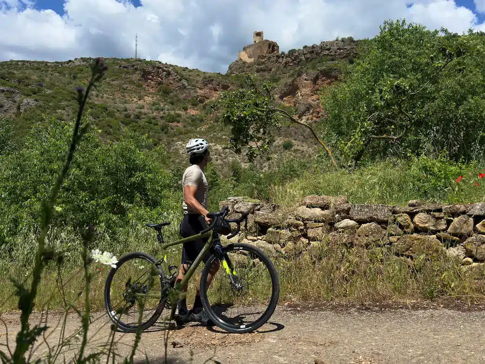
At around kilometer 32 we reach Alòs de Balaguer, a village with a very characteristic charm, steep and crowned by the remains of its medieval castle on the mountain ridge. It is precisely from Alòs de Balaguer where the most important ascent of the entire route begins: a climb of more than five kilometers with an average slope of close to 7%, which includes a demanding initial section of over 10%.
It is a narrow track that climbs between mountains, marking the beginning of the foothills of the Pre-Pyrenees, in the middle of closed valleys of great scenic beauty. At kilometer 40 we reach the highest point of the route, where a descent begins that must be approached with caution, as the path is narrow and has sections with loose stone.
The descent takes us back to the Segre River near Camarasa, a town that we will sense as we approach it. We will skirt the town, making a brief but obligatory stop at Pont Vell de Camarasa, around kilometer 45, where the Segre River is wide and bright. Leaving Camarasa, we will be greeted by some uncomplicated turns towards Cubells, from where we will take the return route to Ponts along small roads and rural tracks. These will take us to Montclar, where the imposing Montclar Castle stands out.
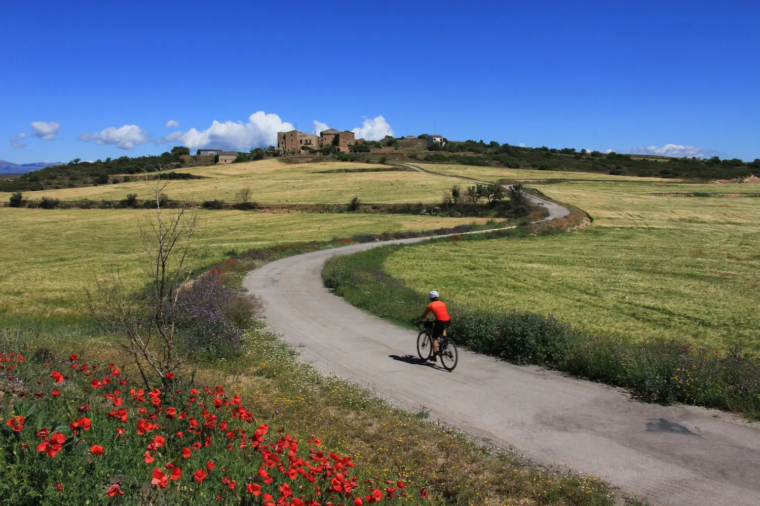
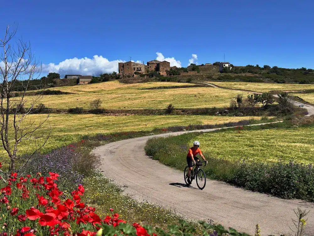
In this last half of the route the landscape becomes flatter, although it crosses small villages that invite you to enjoy the surroundings without rushing, such as the town of Claret, which offers a wide horizon line. Finally, the entrance to Ponts is made from the south through the Camí d’Agramunt, the last dirt track of this complete and demanding tour of the Noguera region.