Our route is an almost complete compendium of all the differentiating features of this diverse land of castles. We propose an itinerary of 117 kilometers and about 1,138 meters of elevation gain, with almost 65% of unpaved tracks. We place the start in Ponts, a town that, despite belonging to La Noguera, becomes the ideal starting point for its logistical and service facilities.
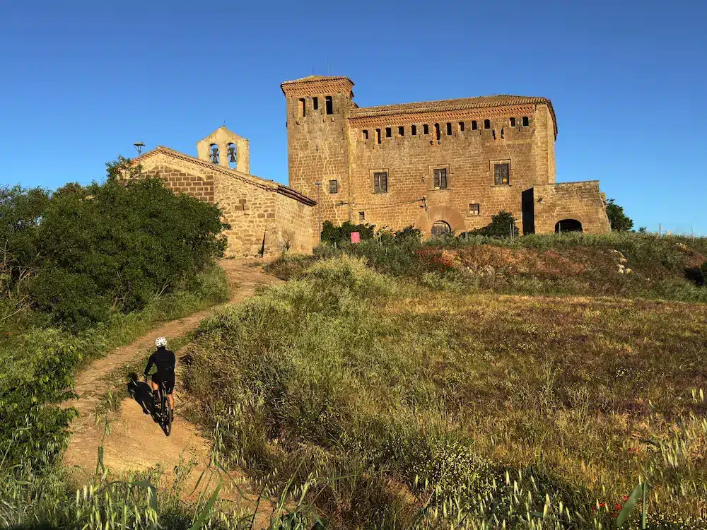
From Ponts, the route heads southeast towards Vilanova de l’Aguda, where we find the first two sections of the itinerary, less than three kilometers long. Once past this beginning, the paths lead us to Sanaüja, approximately at kilometer 20, a town that welcomes us with the imposing silhouette of its Castle, one of the great heritage symbols of the area.
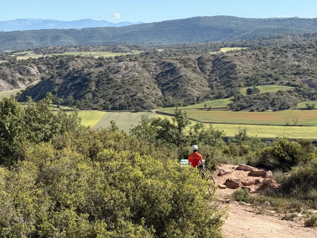
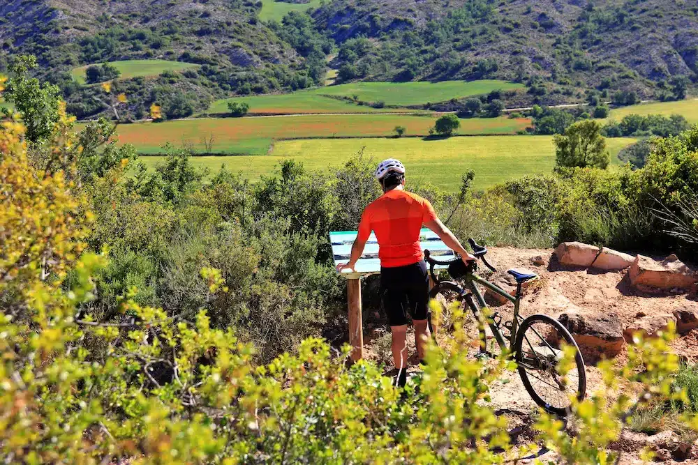
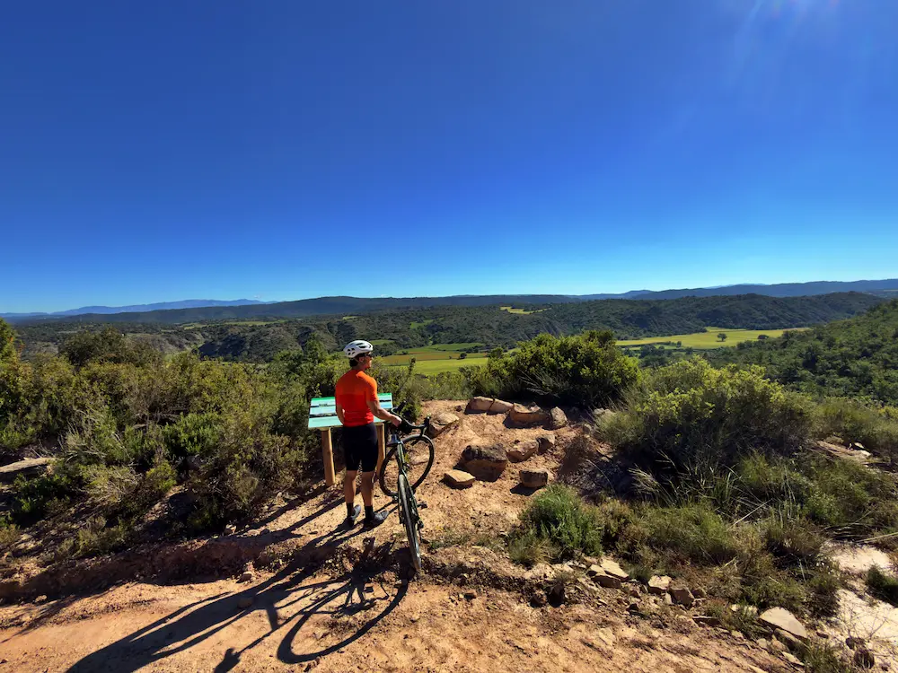
From here, the route alternates between tracks and small roads through the characteristic undulating terrain of Segarra. Always heading south and advancing parallel to the Llobregós river, we will find a magnificent viewpoint over the plain, the ideal place to observe how the river has naturally made its way through the surrounding hills.
At kilometer 30, we turn left, leaving the town of Biosca aside, to go up several climbs. These are not very long climbs, although the third one, which takes us to Vicfred, is nearly 3 kilometers long and has a demanding central section that exceeds 10% gradient.
Once in Vicfred, we make a 180-degree turn towards Guissona, one of the most important and dynamic municipalities in the region, just before crossing the equator of the route. From here, the itinerary resumes its course south to head towards the capital of the region: Cervera. This is the southernmost point of the route, and the route invites us to cross its historic center, where its famous University stands out in monumental form.
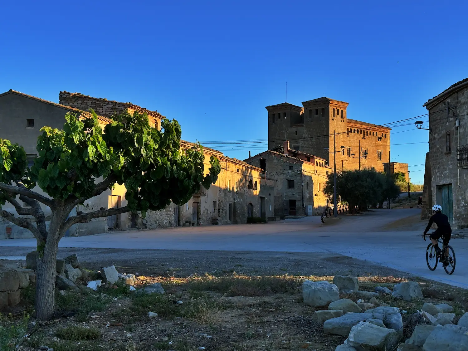
From here, we head north back towards Ponts, passing through Montcortès, a small town dominated by its imposing castle. We continue through rolling landscapes of small, gentle hills, where the terrain gives us a break before tackling the final kilometres.
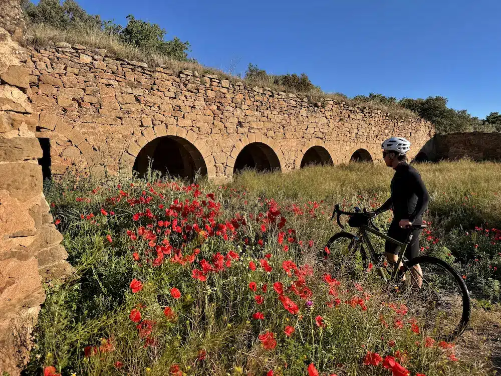
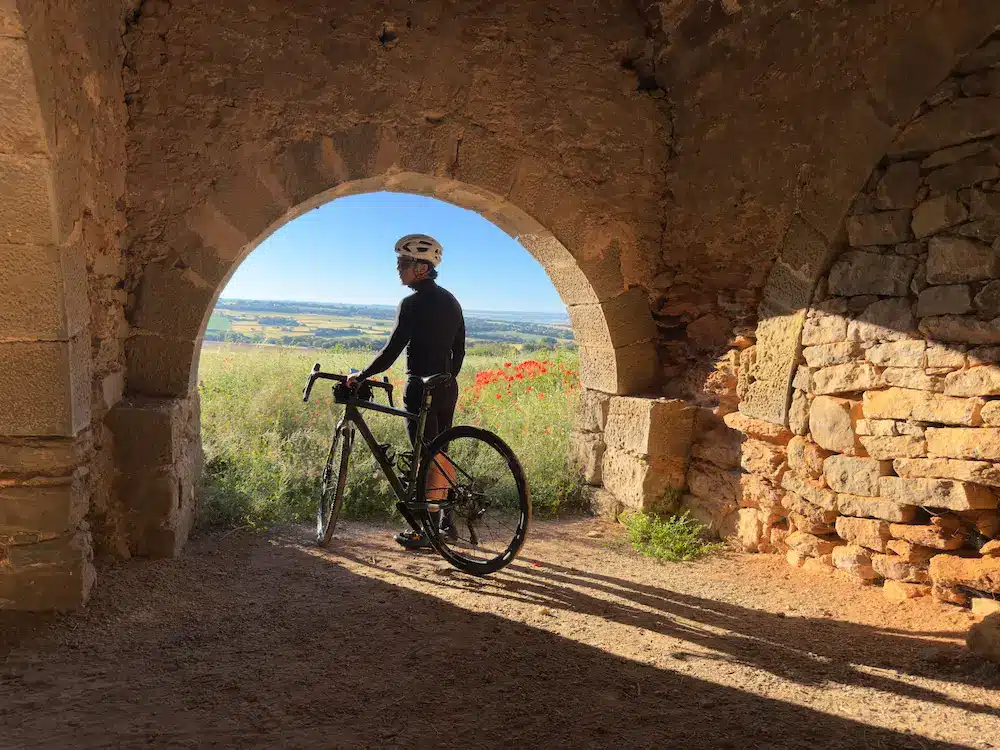
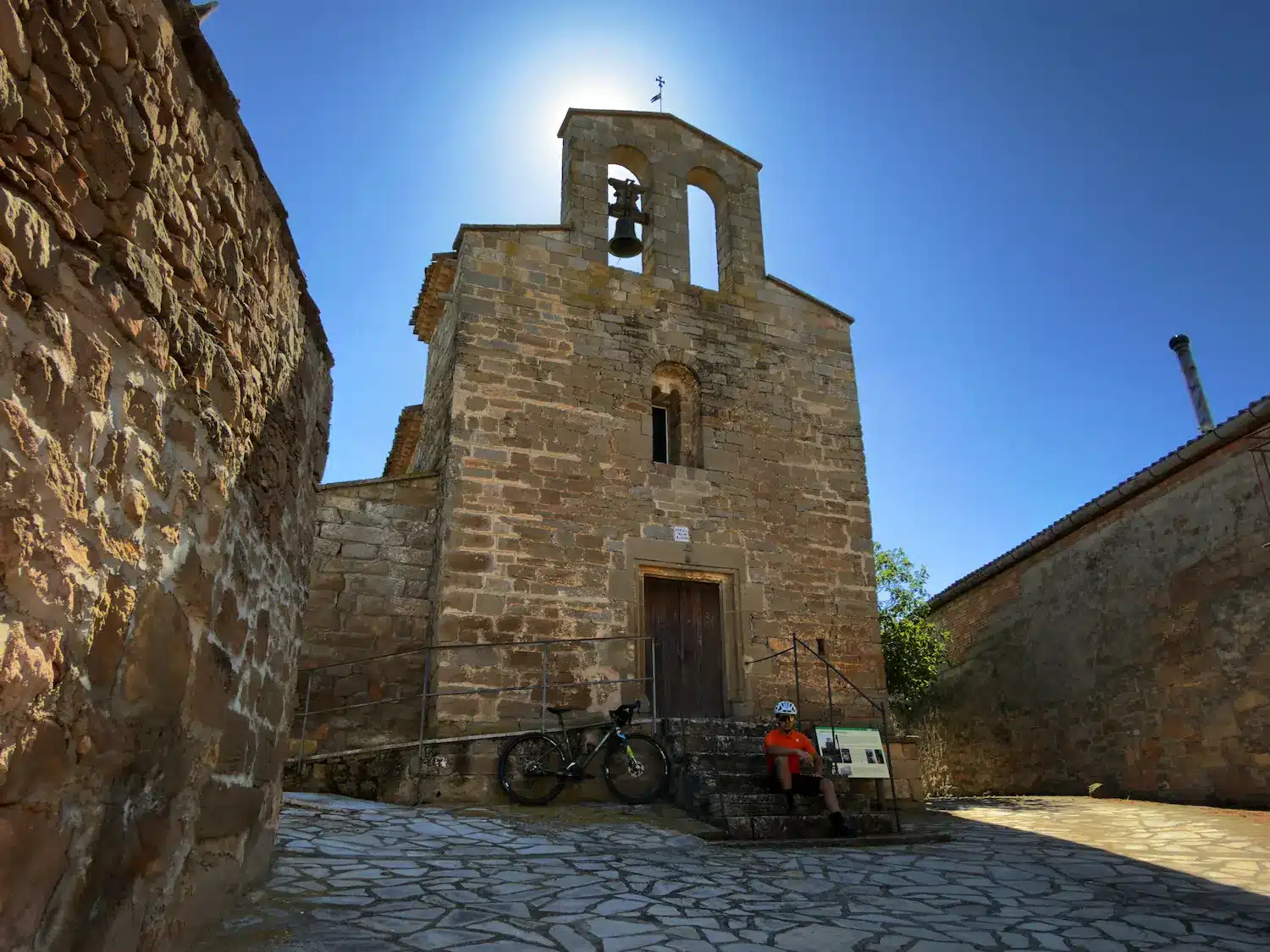
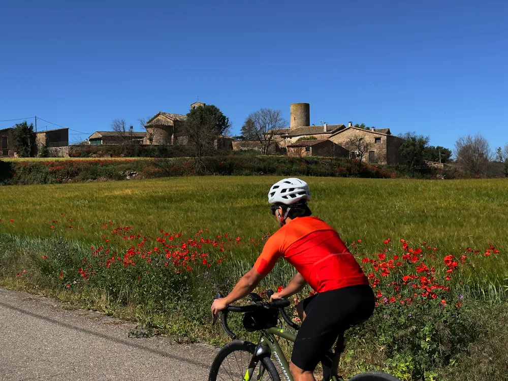
At kilometer 93 of the route, we come across the Pletes de les Pallargues, a unique space of popular architecture traditionally linked to livestock use and grazing. Through gentle hills that do not exceed a kilometer in length, we arrive at Vilamajor, an unmistakable town thanks to the round tower of its castle and the Romanesque apse of the church of Santa Maria de Vilamajor.
From this point, at kilometer 102, the itinerary begins to descend gradually back to Ponts, where we will finally reach by overcoming a final climb of one kilometer along a final dirt track, thus closing this great excursion through Segarra.