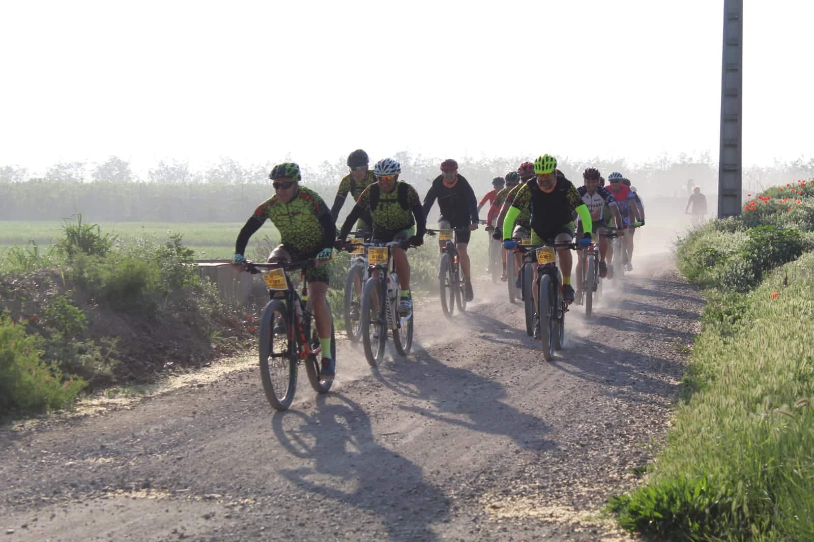
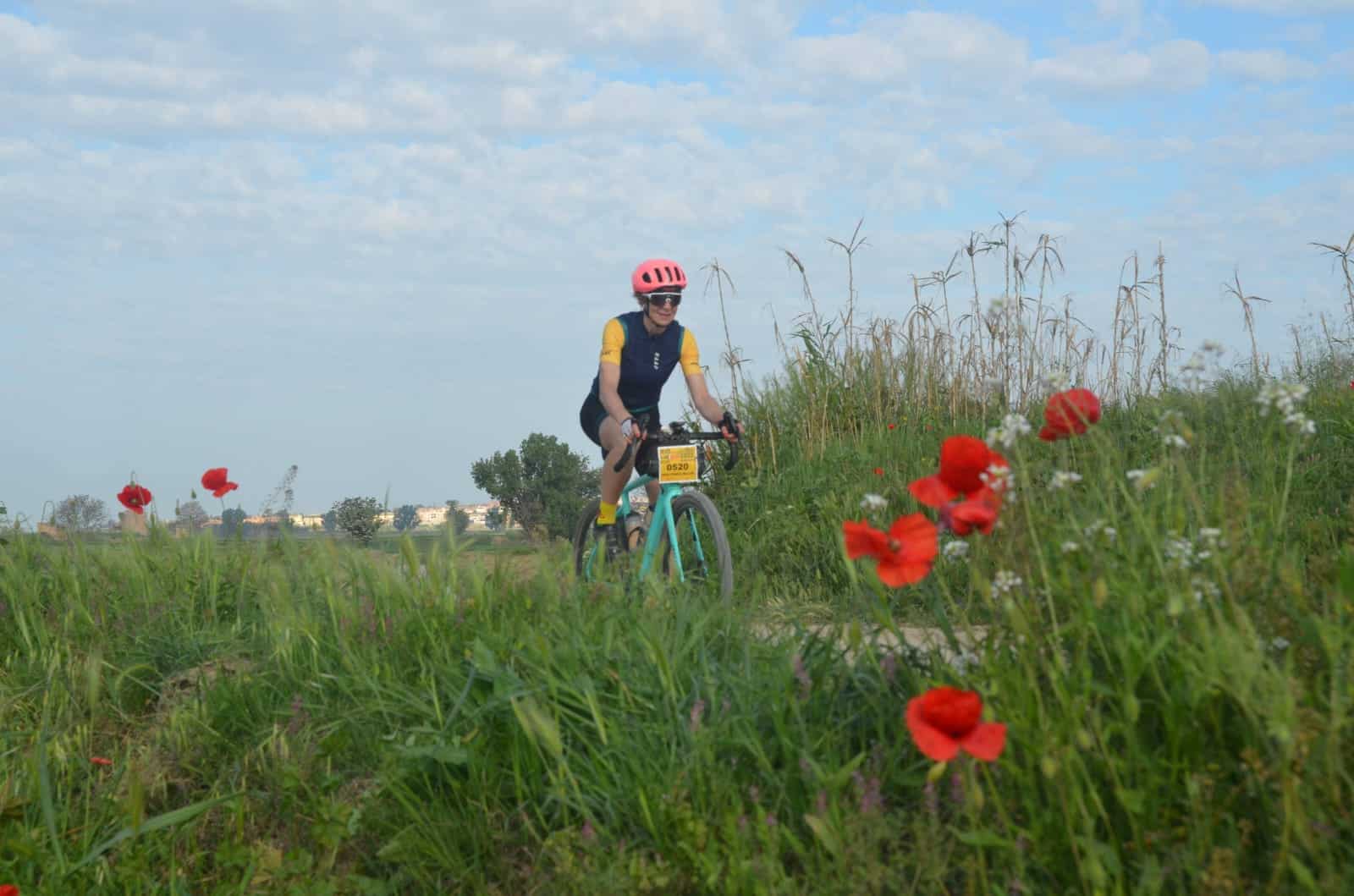
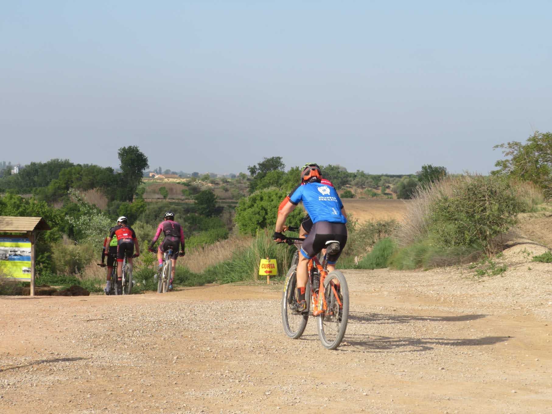
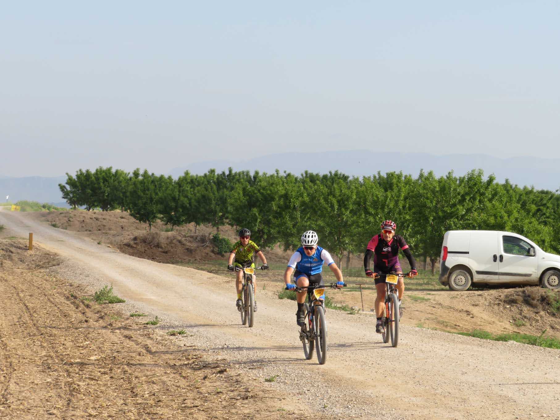
The itinerary we present to you is born from the spirit of the “Catigat”, the emblematic cycling march of the region that at the end of April of this 2026 celebrated its 17th edition linking 18 towns. Taking that route as a basis, we propose a great circular route of 103 kilometers and just 500 meters of positive elevation gain that sets its beginning and end in the great environmental treasure of the area: the Estany d’Ivars i Vila-sana. With 60% of the route on dirt tracks in perfect condition and fully permanently signposted, this trip connects practically all of the towns of the region.
The route begins at the Estany d’Ivars i Vila-sana, the largest inland lake in Catalonia, a restored natural space that acts as a biodiversity refuge. From here, the route heads north, and after passing the village of Vallverd, you reach Linyola, a town located on a small hill of great historical importance linked to the County of Urgell. In this first sector, the cyclist already comes into contact with the classic landscape of the day: straight tracks of loose but compact gravel, fields of crops on both sides and an open sky where you have to expect heat and wind due to the lack of wooded areas.
Once the northern limit is passed, the route turns west in search of Els Arcs and El Poal, connecting small rural towns via fast and very easy-to-drive tracks. From Bellvís, the route loops south and crosses over the AP-2 motorway to reach Bell-lloc d’Urgell, the westernmost point of the route. The route then begins to turn east, passing through Sidamon and heading straight towards Torregrossa, which marks the southern end of the journey. The departure from this latter town offers one of the most characteristic sections for road cyclists: a six-kilometre straight line on land that leads directly to Miralcamp, a town that is crossed from bottom to top.
The path turns north again to connect Fondarella and El Palau d’Anglesola consecutively, from where you can access Mollerussa, the regional capital and the demographic and economic engine of the territory. The growth of the city is closely linked to the construction of the Canal d’Urgell in the 19th century, a monumental hydraulic infrastructure that transformed the old dry land into irrigated land and which has its dissemination point at the Espai Cultural dels Canals d’Urgell, an interpretation center located in the city itself.
Pedaling parallel to the canal in an easterly direction, you reach one of the most emblematic places in the region: the Salt de Duran. Located in the third main canal of the canal, it is a four-meter high waterfall that used to generate electricity for a nearby paper mill, and which has now become one of the most popular spots on the Canal d’Urgell.
The last section of the route leaves the canal to connect with Vilanova de Bellpuig and Golmés. From here, the route resumes north towards Vila-sana and seeks passage through Castellnou de Seana —the town where the “Catigat” race begins— through a completely straight track. The final section completes the circuit around Estany d’Ivars on its western side, connecting with Barbens and Ivars d’Urgell before ending the route at the same starting point.