
Distance
Elevation
Lower level
Upper level
Interact with the graph to find the point on the map and download the route.
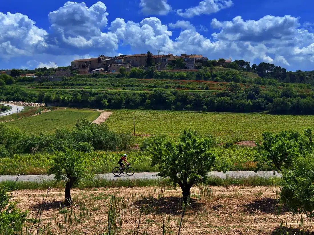
This circular route of 84.5 kilometers and 876 meters of positive elevation gain combines equal parts asphalt and dirt tracks, ideal both for enjoying a demanding ride and for discovering the cultural, agricultural and monumental wealth of this territory full of contrasts.
We locate the start of the route at an emblematic point of great ecological value: the Estany d’Ivars i Vila-sana. This is the largest inland lake in Catalonia, with a perimeter of almost 6 kilometers that is ideal for bird watching in a first-class restored wetland environment. From this point, the first half of the route has an upward trend, with a slight and gentle climb that takes us through the towns of Vila-sana and Castellnou de Seana.
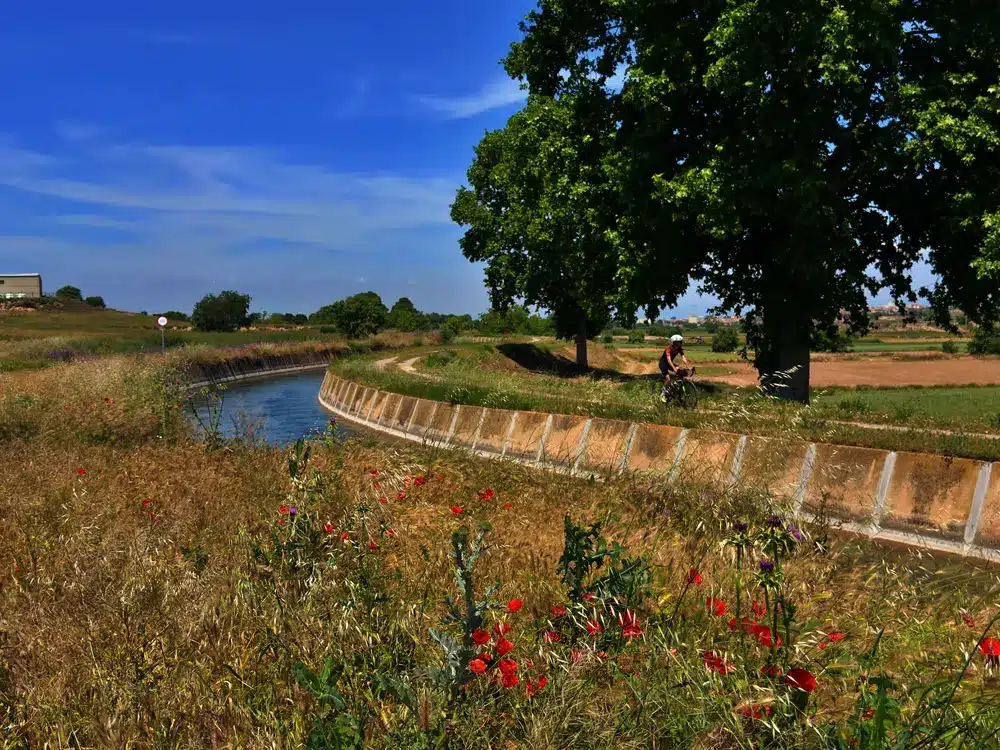
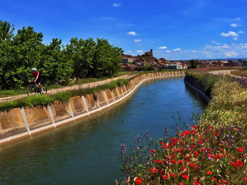
After crossing Bellpuig, from kilometer 12, the route runs parallel to the Canal d’Urgell. Pedaling along the edge of this hydraulic infrastructure – one of the most important in Catalonia for the development of irrigated crops – allows you to discover the unique beauty of the area. The route leads us directly towards Preixana, whose silhouette cuts across the horizon following the curves of the canal.
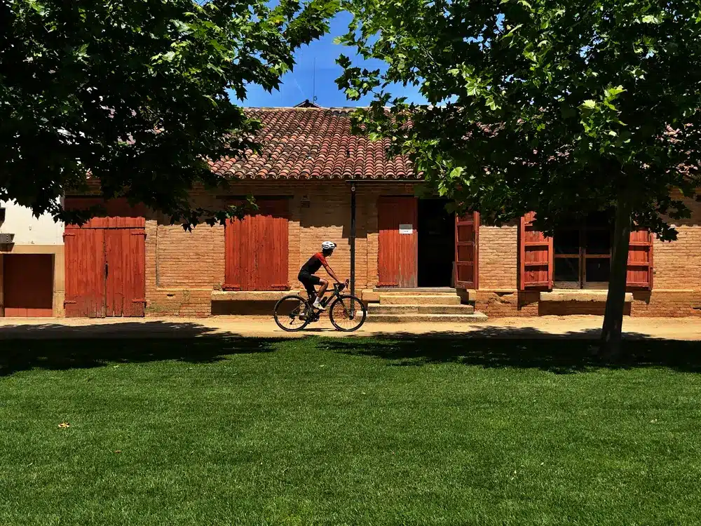
We leave Preixana behind on a smooth and very wide track, where we can observe characteristic elements of the rural architecture of the area, such as the Cabana de Cal Cacauero. Once we reach the village of El Vilet, near kilometer 25, the terrain changes to face the most demanding section of the day: a double ascent of about 6.5 kilometers that will take us to the heart of Vallbona de les Monges, where its Royal Monastery is located, a universal jewel of the Cistercian order and one of the most important Gothic female monasteries in Catalonia.
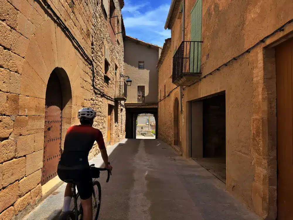
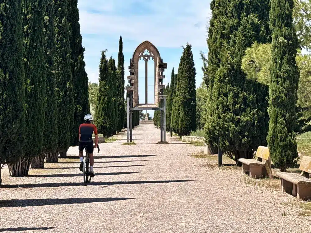
After this sector, the route heads north towards Ciutadilla, where we turn right towards Guimerà. Before arriving there, the route passes by the ruins of the Monastery of Santa Maria de Vallsanta, an old nunnery where you can still see its elegant Gothic arches. At kilometer 44, we enter Guimerà, undoubtedly one of the most monumental points on the route thanks to its beautiful urban structure with a completely medieval appearance, which climbs the mountainside. The exit from this town hides a small difficulty: a one kilometer ramp with an average slope of 10% on a narrow but well-maintained track.
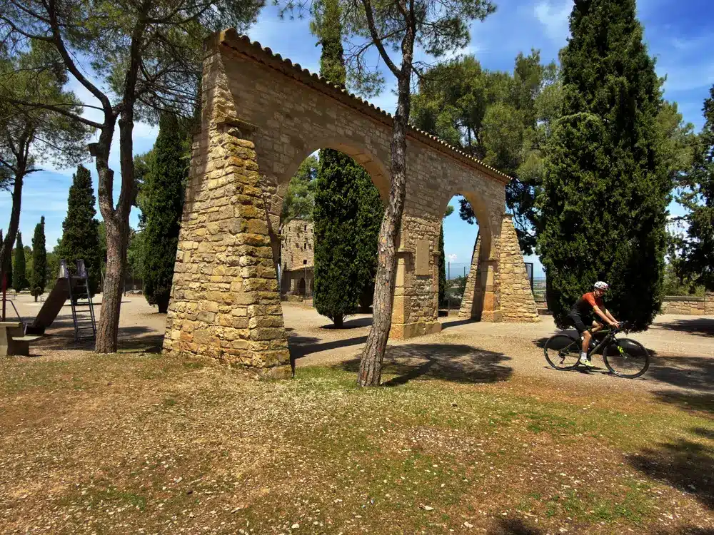
The return journey to Estany d’Ivars is generally downhill, although it is briefly interrupted to access Mas de Bondia, a very small village but highly unique for its character as a medieval walled town. At the gates of Verdú, famous for its black pottery, we connect the road to Tàrrega, the capital of the Urgell region. We will leave the urban centre through its emblematic Parc de Sant Eloi, a large green space perfect for resting and enjoying the tranquility of nature next to the city.
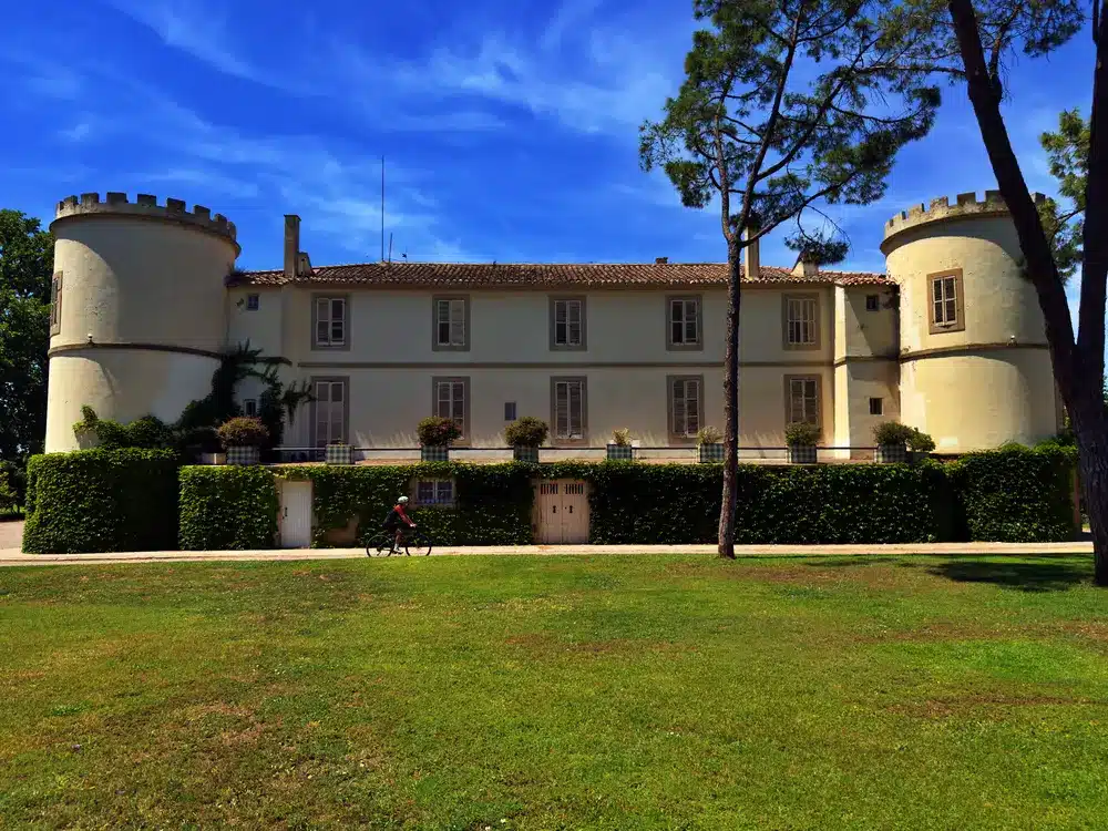
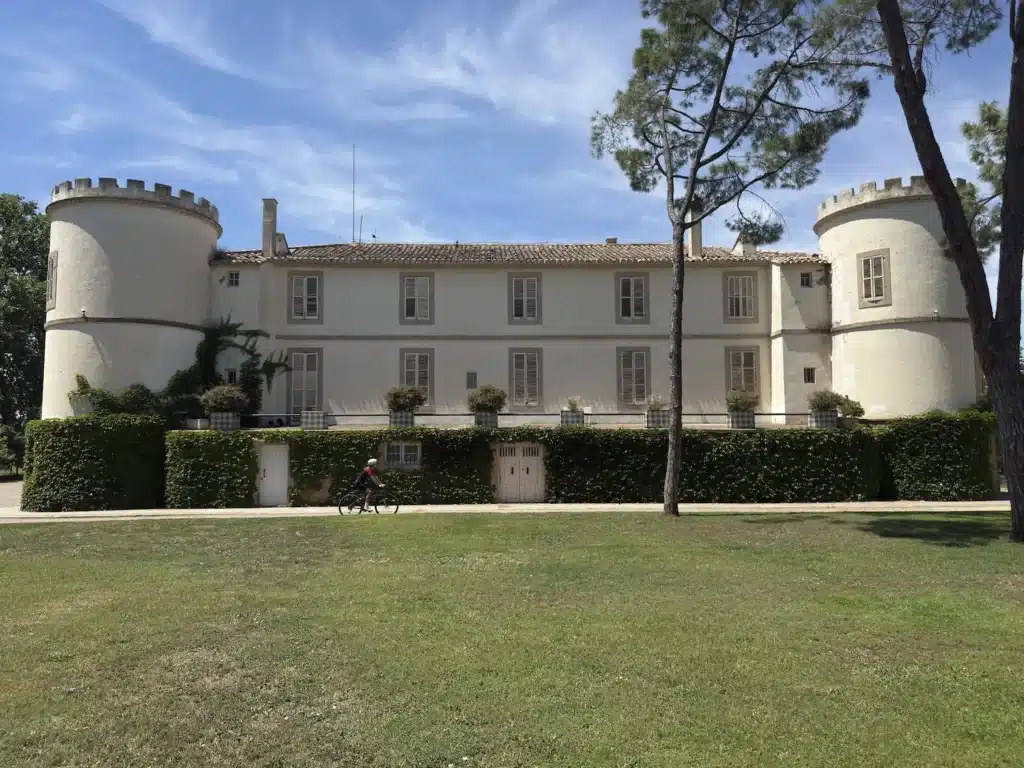
The last few kilometres run along a network of not very wide tracks that offer a gentle and clear panorama over the entire Urgell plain. It is an ideal stretch for riding at a fast and constant pace that brings us closer, at kilometre 78, to Castell del Remei, a historic agricultural estate where its Noucentista-style castle stands out, accompanied by one of the oldest wineries in Catalonia.
From here, only the last kilometers remain, which are carried out on a narrow and completely straight road that allows us to enjoy a comfortable and relaxed pedaling until we reach, again, the banks of Lake Ivars, the final point of this demanding and complete adventure through the Urgell region.