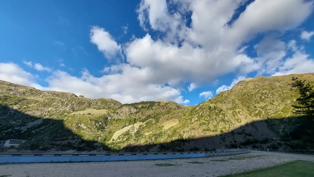
The Mont-ros - Sallente plain is a 17.3 kilometer climb. This is a category 1 climb. It is located in the Vall Fosca, Catalonia. The average gradient of this climb is 5.1%. The Port de la Creu de Perves rises from 891 meters at the start to 1,771 meters at the summit, with a total of 881 meters of elevation gain.