Our route is a demanding 68-kilometer route with nearly 1,000 meters of positive elevation gain, where more than 71% of the route runs along unpaved sections. We start in Les Borges Blanques, the regional capital and nerve center of the oil activity, historically connected to the irrigation networks that supply the transition to the Urgell plain.
The start from Les Borges Blanques begins without preamble with an upward trend. Before reaching the second kilometer, a climb of more than five kilometers in length is undertaken with an average slope of 5%. The route runs along a wide and clean track, although it includes some demanding ramps that exceed 10% inclination. Having crowned this first sector, we are in the area of Els Bessons, a protected natural space that offers excellent panoramic views of the mountains of Les Garrigues to the south.
Once at the top, the route gives way to challenging terrain and perspectives free of visual obstacles. Advancing along dirt roads fully integrated into the Garrigues landscape, the route gradually gains altitude towards Cervià de les Garrigues.
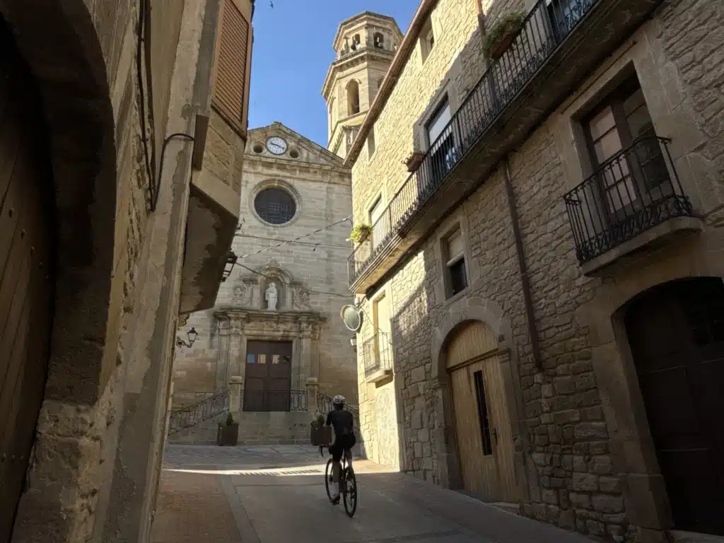
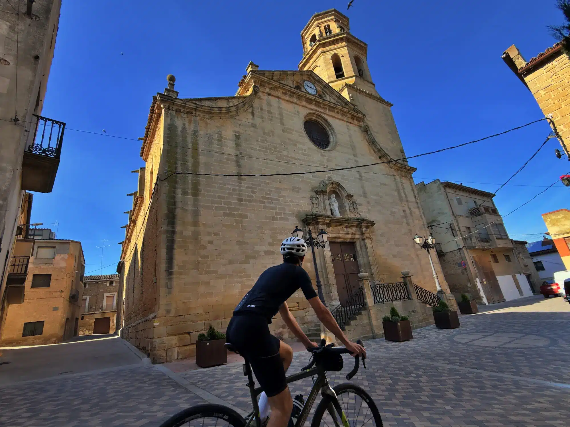
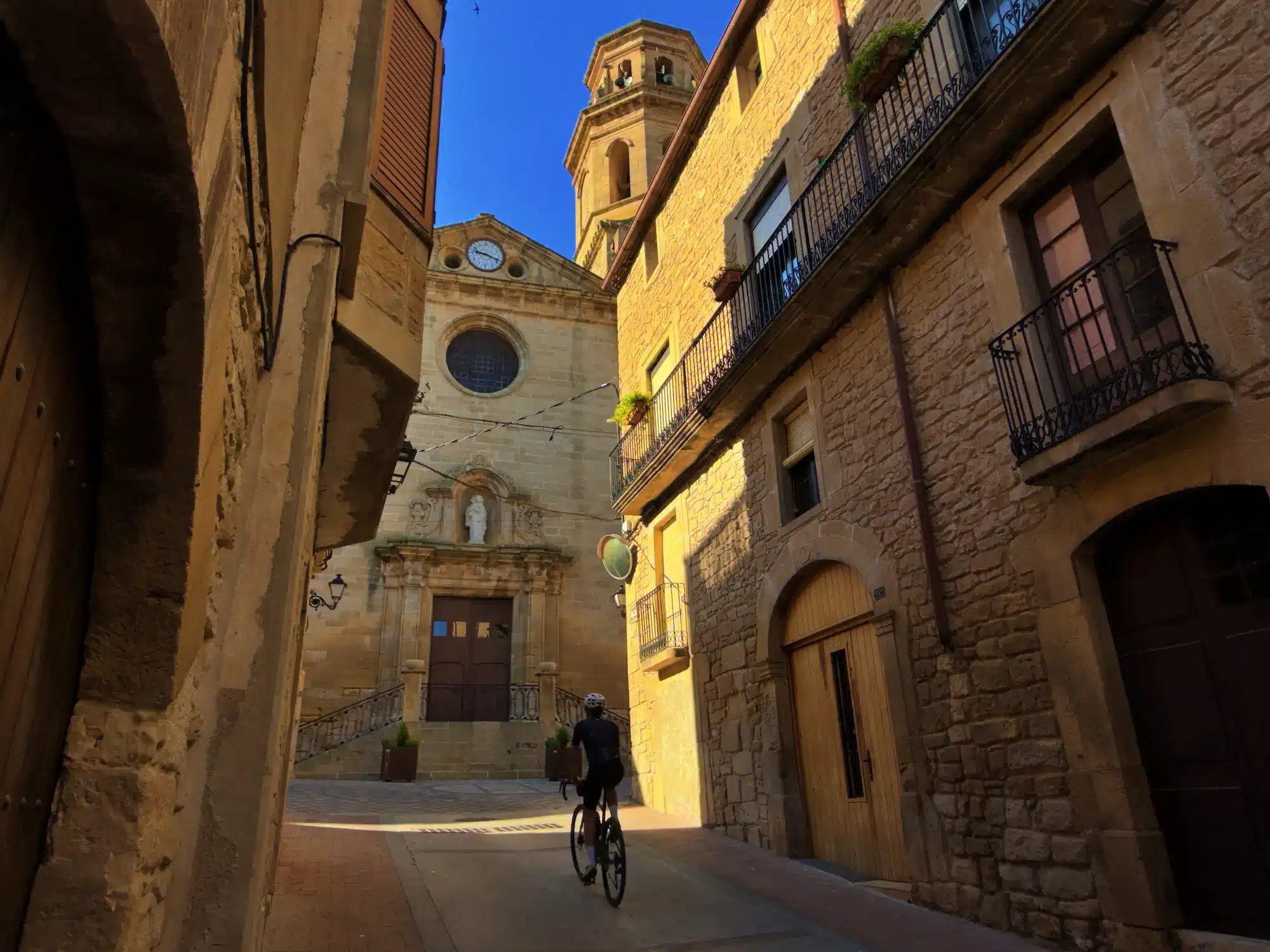
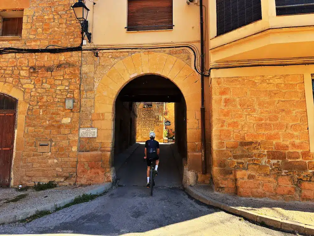
The route takes us directly to Albí, a town of great architectural beauty thanks to its medieval-style urban structure, which contrasts chromatically with the olive groves that surround it. After crossing this town, the route maintains a gentle but constant ascent. Five kilometres further on, around kilometre 26 of the route, we reach Vilosell. This town, which also has a perfectly preserved medieval urban layout, becomes the highlight of the geographical journey, marking the highest point of the route with its 650 metres of altitude.
From this high point, the route changes direction and progresses north along dirt roads until it connects with Vinaixa. In this village we turn right to face two short but intense climbs; the second of them has nearly three kilometers of climb with notable steepness in its initial section. This effort brings us to Tarrés, a charming town located right at the foot of the Prades Mountains.
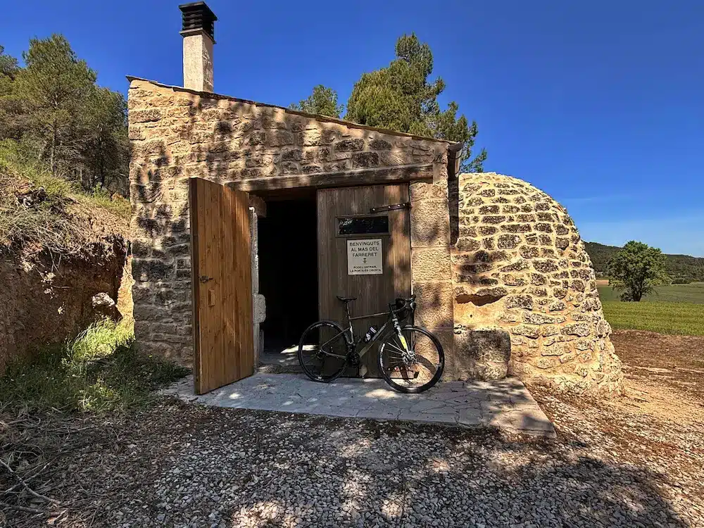
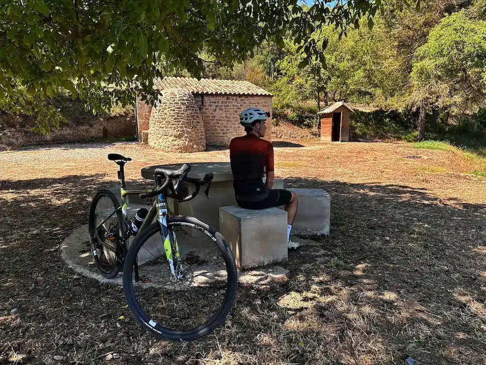
Having completed most of the day’s climbs, we begin the return journey to Les Borges Blanques. The descent is gentle along forest tracks that require caution due to the type of surface. We enter the Vall dels Cortals, a place where we find a unique example of popular architecture: the Cabana del Mas del Farreret. It is a shelter built entirely with the dry stone technique, a highly characteristic construction solution of the region.
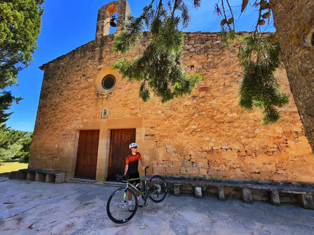
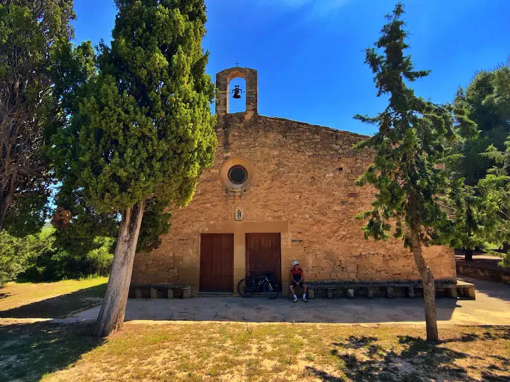
Around kilometer 50, near L’Espluga Calba, the track turns left, linking a couple of small switchbacks to then begin a descent along a small narrow road that brings us closer to the Hermitage of Sant Bonifaci, already at kilometer 54.
Maintaining the downward trend, we cross the town of La Floresta and its castle before re-entering Les Borges Blanques through the northern sector. The farewell to the route offers us a pleasant ride parallel to the Canal d’Urgell, putting an end to this demanding loop through the geography of Les Garrigues.