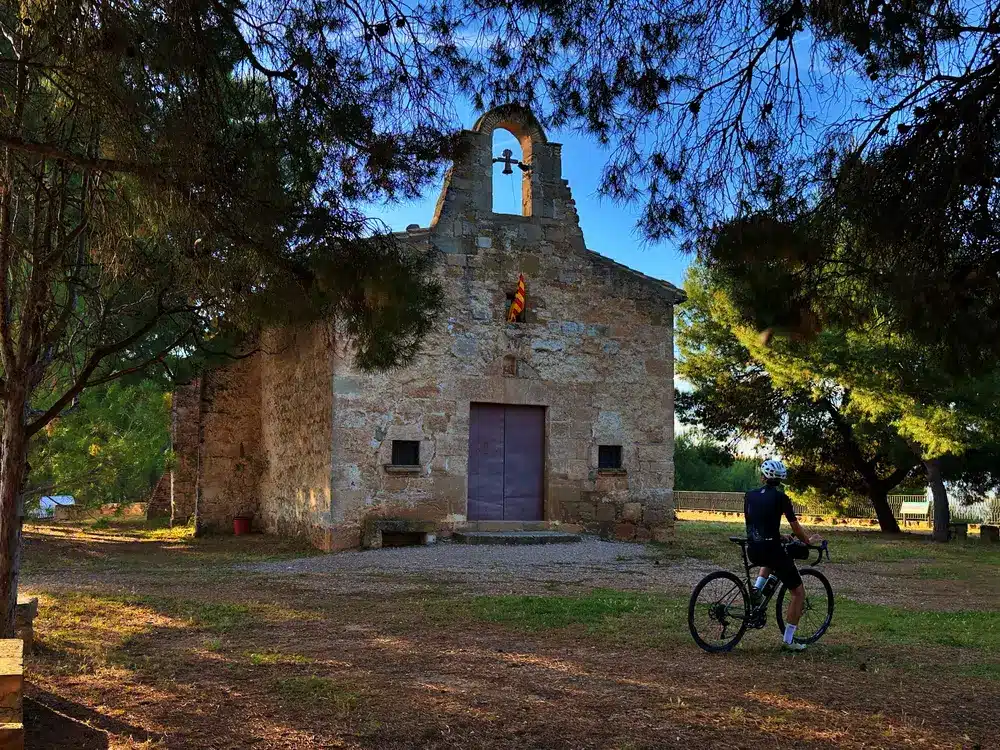
We place the start and end of the route in Les Borges Blanques, capital of Les Garrigues and a nerve centre for olive oil production. This town is also known for being the birthplace of Francesc Macià, the 112th president of the Generalitat de Catalunya. The start is made in a westerly direction, quickly seeking the domains of the neighbouring Segrià region. The first 32 kilometres are eminently flat or tending to descend, running along pleasant paths and a gentle landscape of fruit fields, an agricultural mosaic that directly connects the cyclist with the main economic and human engine of the area. During this first third of the journey, the terrain is very pleasant and we will not find any significant ramps until kilometre 38.
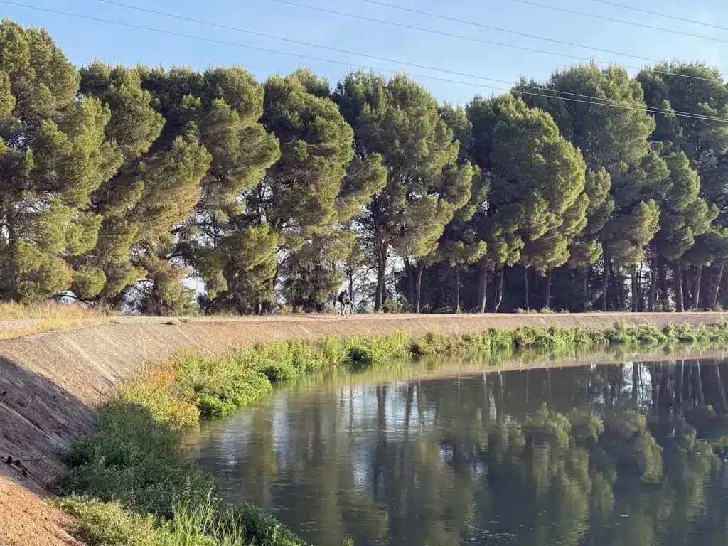
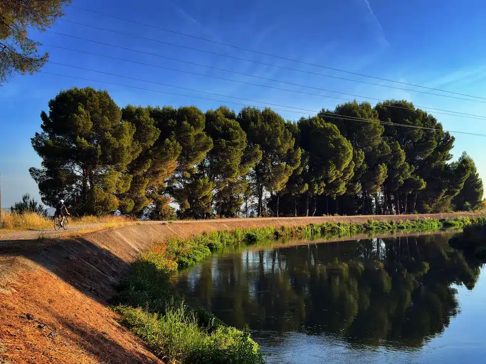
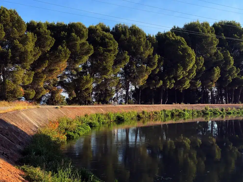
The first major change of direction is at kilometer 40. Here the route turns left to cross the Seròs Canal, a key hydraulic infrastructure where we will cycle along small parallel paths that border the Utxesa Nature Reserve. This space is a wetland of great ecological richness, born from the construction of an artificial reservoir a century ago, and stands out as a Special Protection Area for Birds (ZEPA). The path winds along the canal between fields of almond trees, which offer a unique visual spectacle during the flowering period, especially in March. The itinerary continues until making a 90-degree turn to the left at the level of the Curt reservoir.
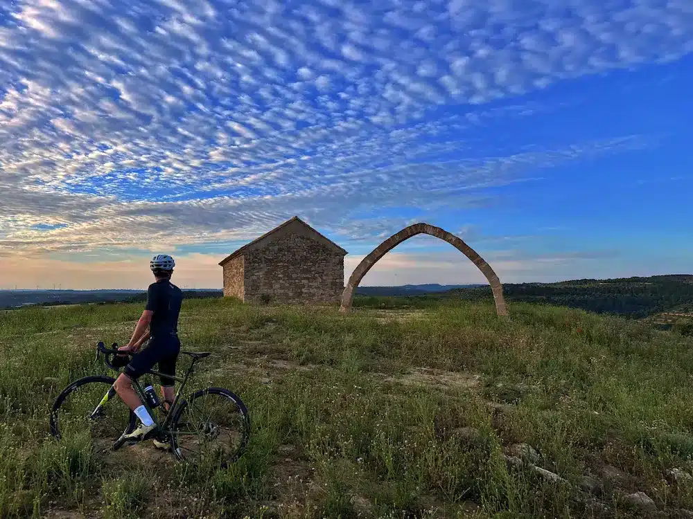
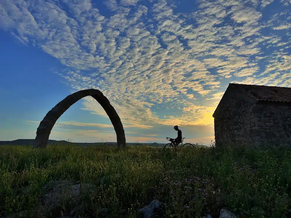
At this point, you take a track that advances between small hills until you reach one of the most unique and monumental corners of the route: the Arc d’Adà, around kilometer 56. Located exactly halfway along the route, this Gothic-style pointed arch is the vestige of an ancient village and stands as an exceptional viewpoint over the surroundings.
From the Arc d’Adà, the route progresses south towards the municipality of Llardecans, following a track that climbs progressively and without excessive gradients. Once in Llardecans, turn left again to climb the path back towards the point of origin.
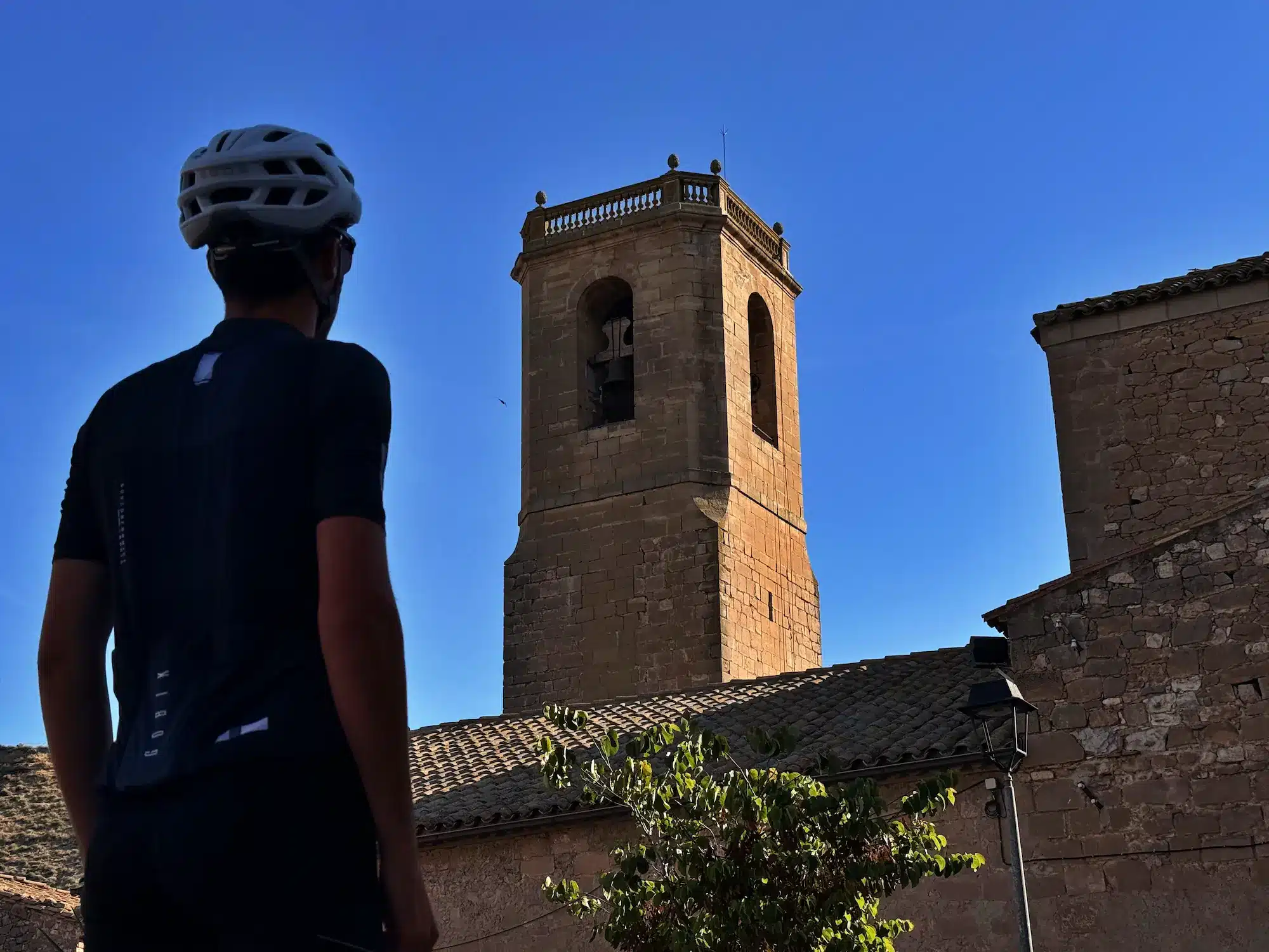
This last section leads the cyclist towards Sarroca de Lleida, alternating small climbs and short descents that cross the municipalities of Alcanó, Aspa and Castelldans. It is a transitional landscape where dry fields and new irrigated fields coexist. Finally, the approach to Les Borges Blanques is made along fast, comfortable and easy-to-navigate tracks, putting the finishing touch to a very complete excursion through the Terres de Lleida.